Product preview
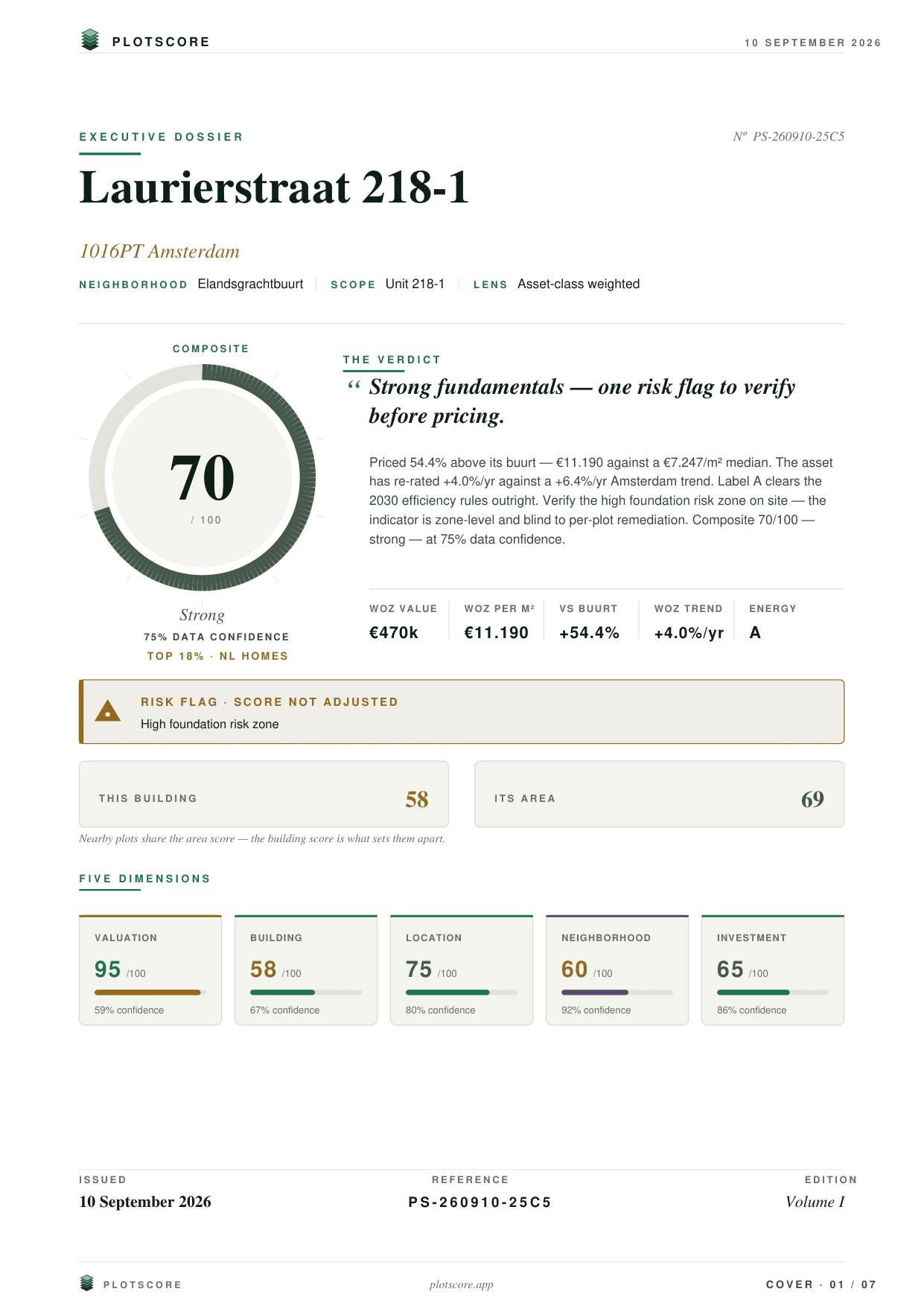
This is PlotScore.
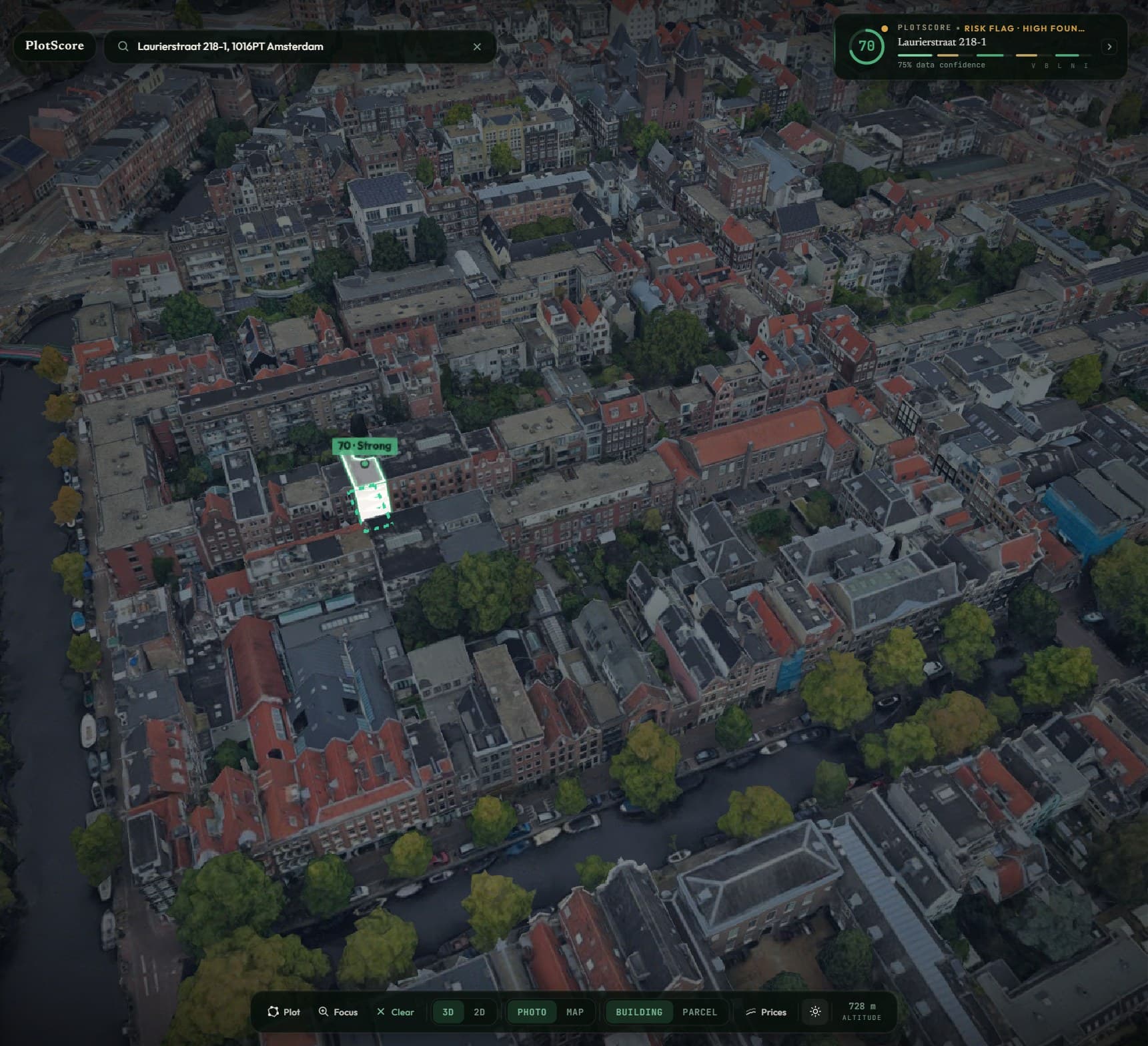
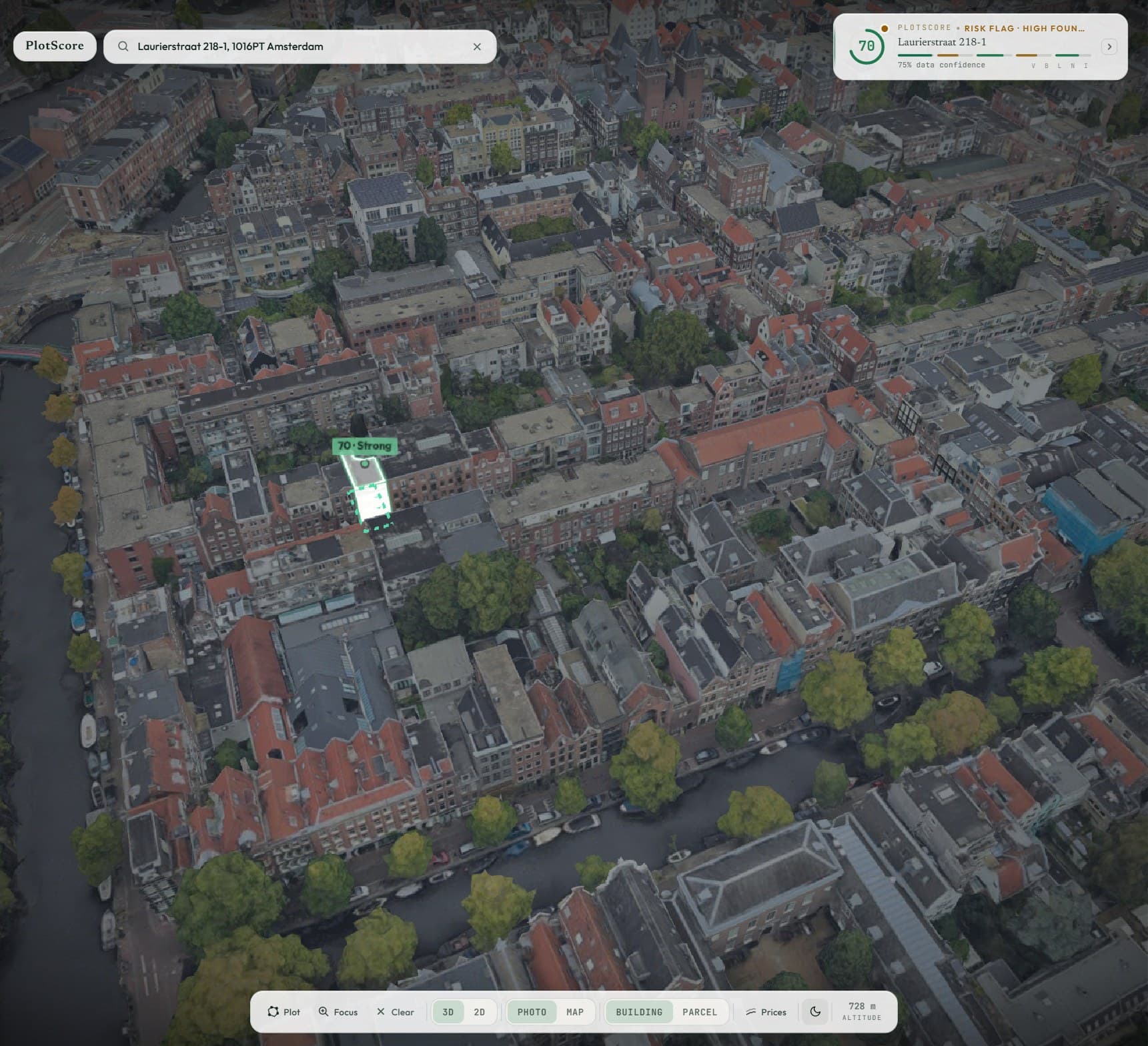
One address, scored live from 25+ data sources. Recorded from the app — nothing here is a mockup.
Laurierstraat 218-1, Amsterdam
How it works
Watch a score being made.
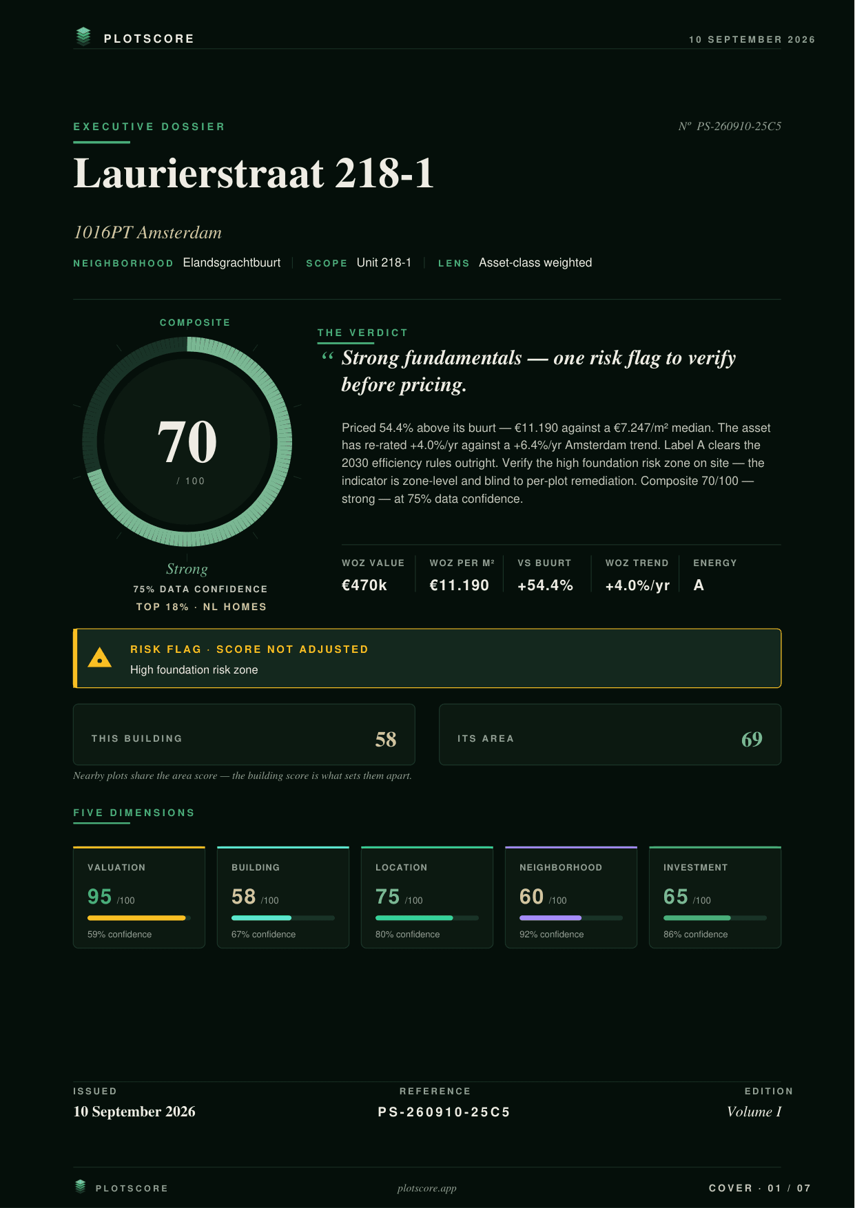
01The score
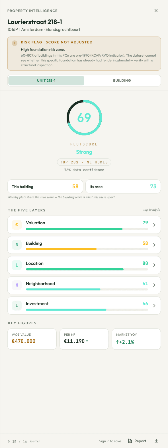
One number, and the five behind it.
Tier, percentile and confidence beside the number. Five layers under it.

02The layers
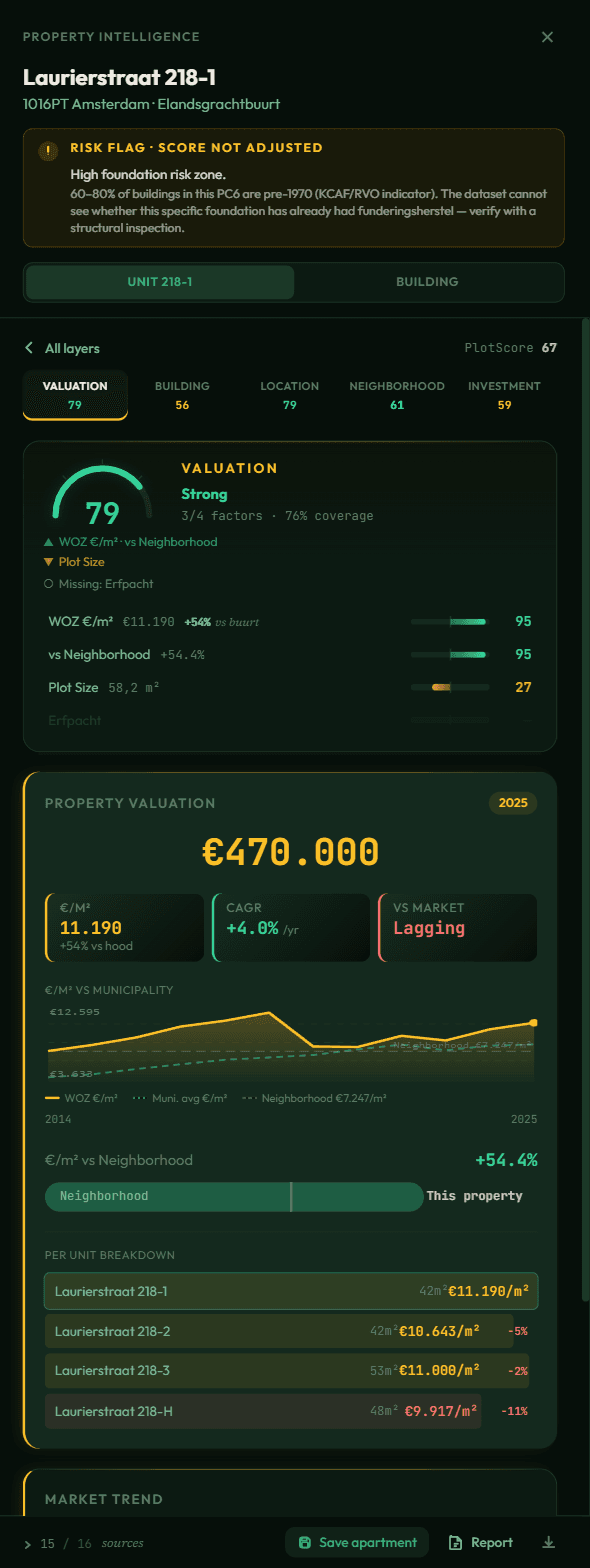
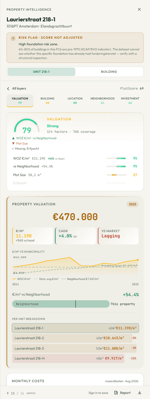
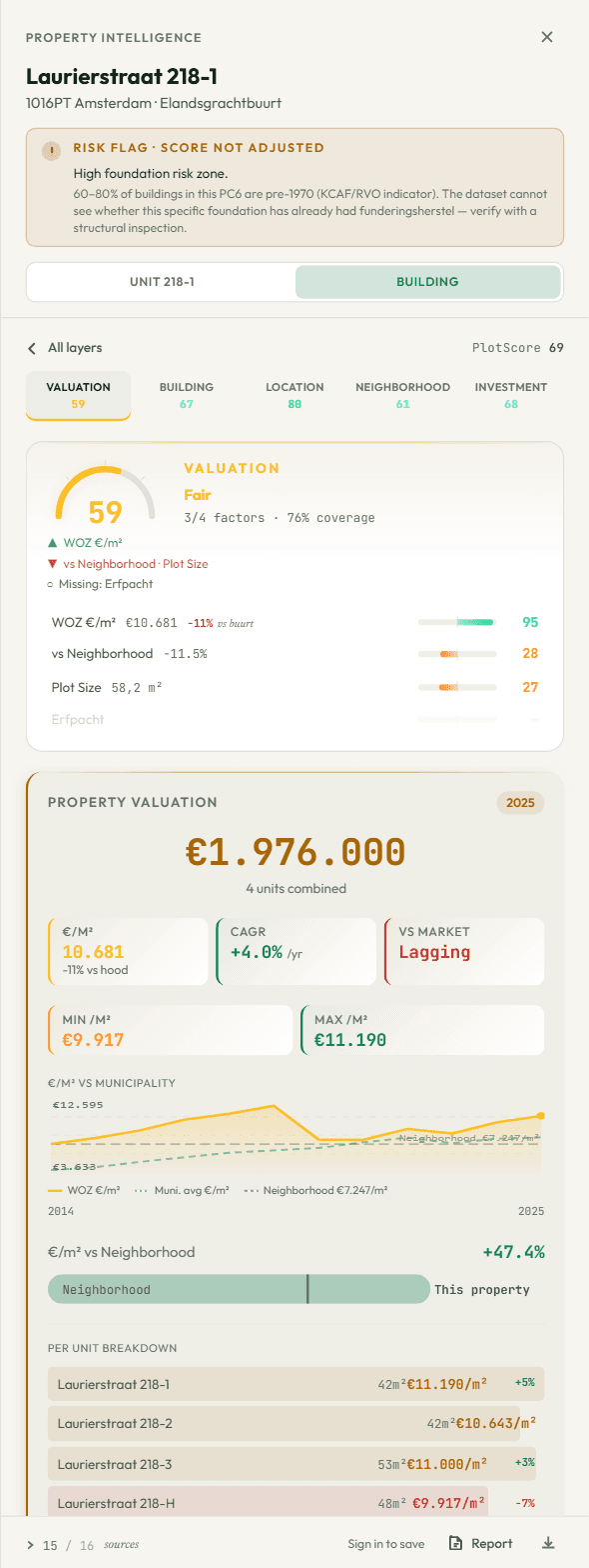
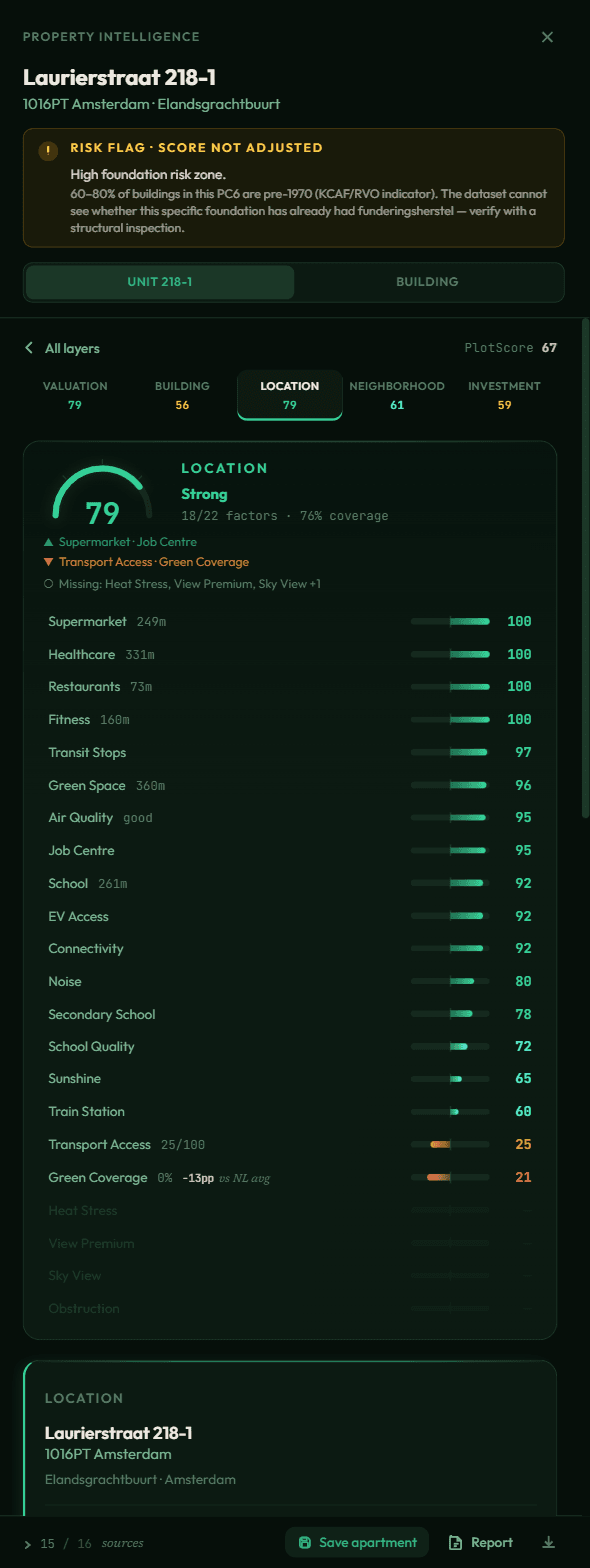
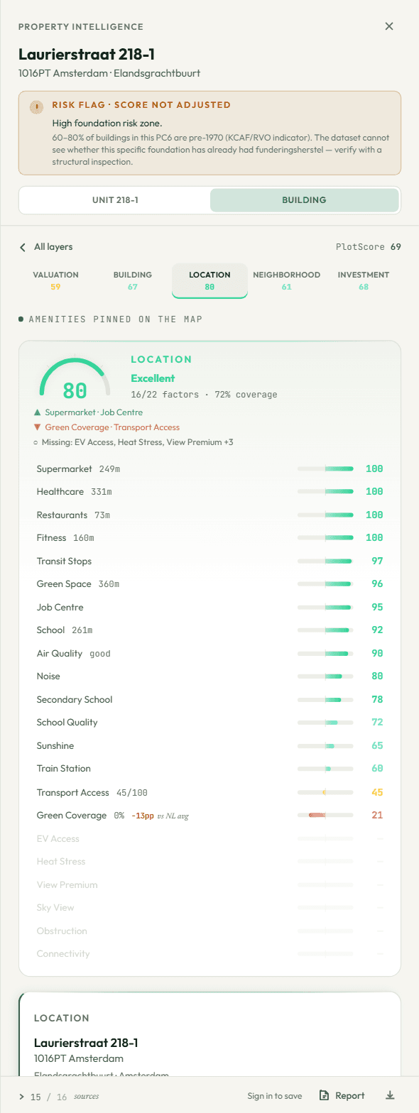
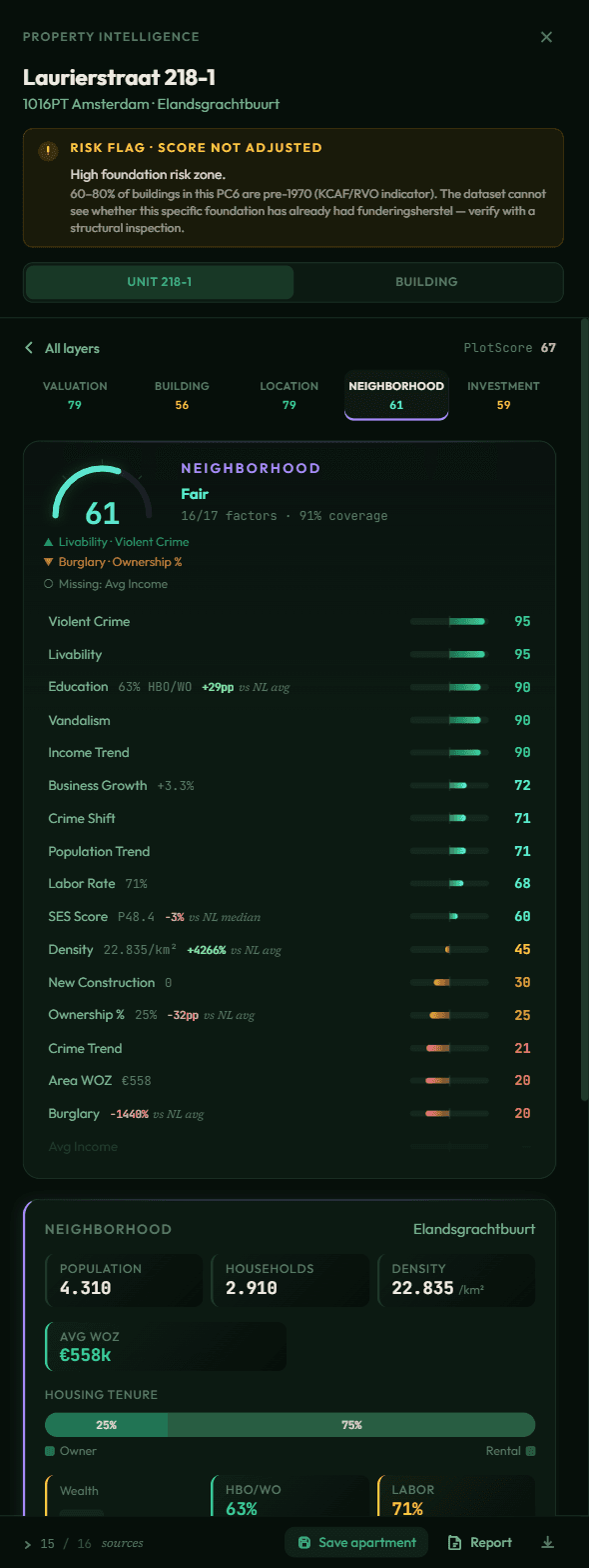
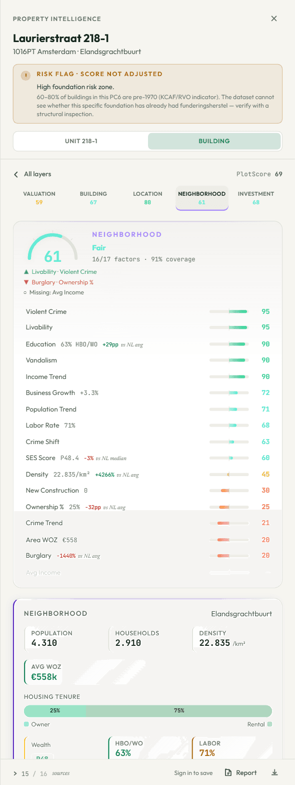
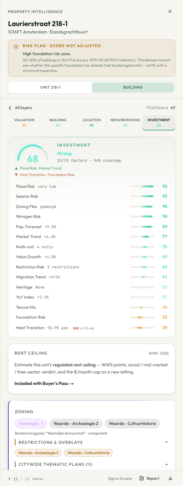
Open any layer.
Every factor with its measurement, its score and its source.


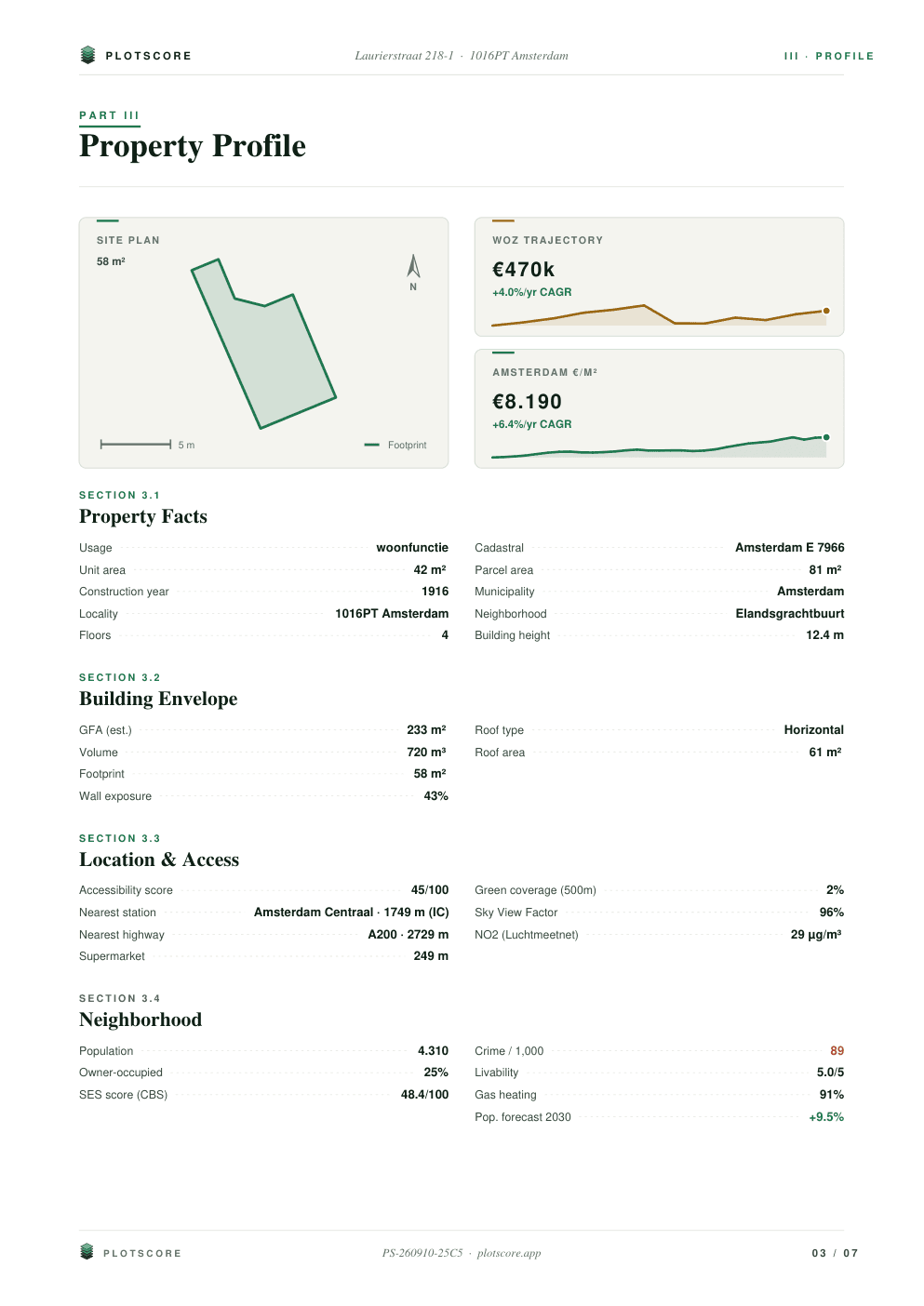
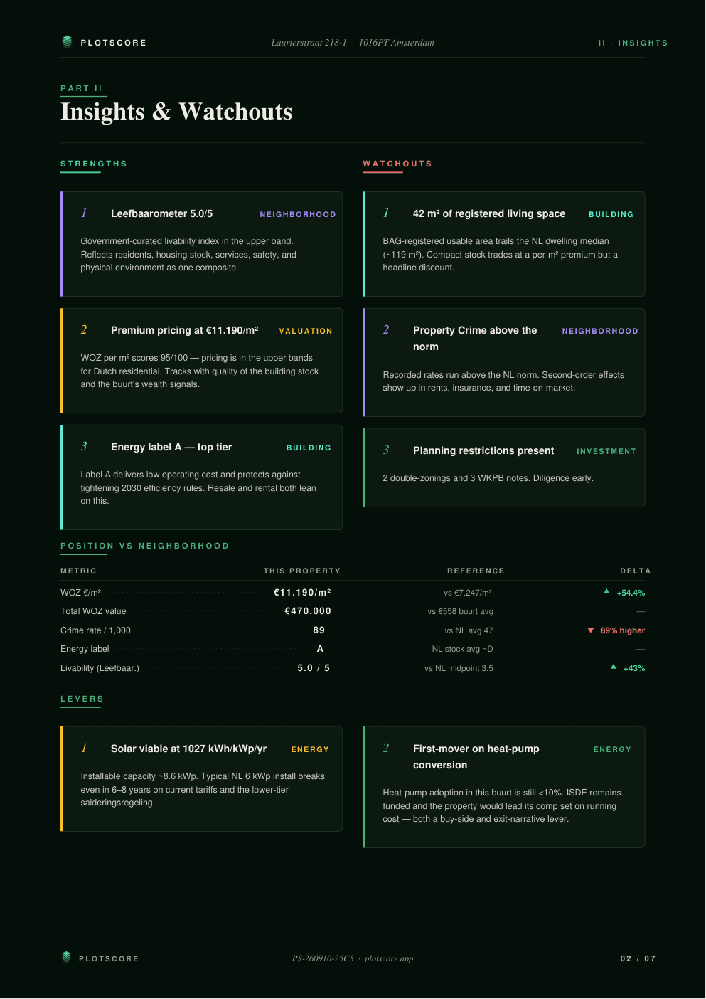
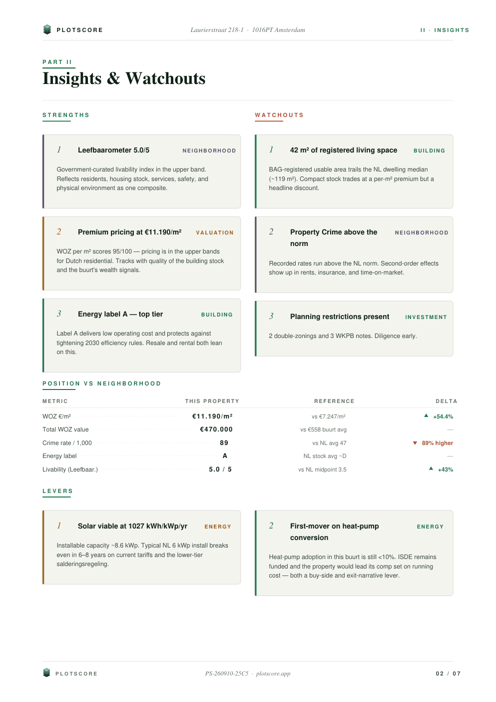
03The dossier
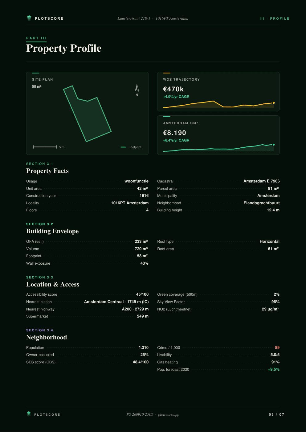
Take it with you.
Six parts, every source named. For a bank, a broker or a gemeente.
Free exports carry a preview watermark; Buyer's Pass removes it.
More than a search
Some of these numbers took a decade to make.
A chatbot answers from what was written about a street. PlotScore reads what was measured at the address.
In the score as
Amsterdam sale prices
1995–2025CBS · €/m², one point a year
31 yearly points
Market Trend 77
This unit's WOZ
2014–2025Gemeente · assessed yearly
12 assessments · +4%/yr
Value Growth 65
Satellite irradiance
2005–2023PVGIS · SARAH-3
19 years · 1,027 kWh/kWp
Solar Potential 93
Ground motion
2020–2024Copernicus EGMS · Sentinel-1
-1.0 mm/yr at this address
Ground Motion 75
Crime, this buurt
2021–2025CBS · Politie
5 years + 22 months
Crime Trend 21
Energy label
2024 → 2034EP-Online · RVO
Label A · valid to 2034
Energy Label 90
Leefbaarometer
2024BZK · 3.0 · 100 m grid
class 9/9 for this cell
Livability 96
Population forecast
→ 2030CBS
+9.5% by 2030
Pop. Forecast 89
Read live, today
BRK · 3DBAG · BGT · DSO · WKPB · OSM
- a viewshed through 3,776 buildings
- 65 trees within 150 m
- 36 transit stops
- 3 restrictions on the title
- the parcel and the building envelope
measuredvalid or projected, after todaytoday
The same four answers, any other way
| The question | A chatbot | By hand | PlotScore |
|---|---|---|---|
| Is the ground moving here? | Not written anywhere | Download 1.2 GB of radar tiles and reproject them | 2020–2024, measured, in the score |
| What did the WOZ of every unit in this building do? | Quotes the street | One address per lookup at the WOZ-waardeloket | 12 years per unit, charted |
| How much sky, and which way is wall? | Guesses from photos | Not possible without the 3D city model | A viewshed through 3,776 buildings |
| What restrictions are registered on the title? | Does not know | A paid Kadaster extract | 3 registered, named |
Studio
The whole city, scored.
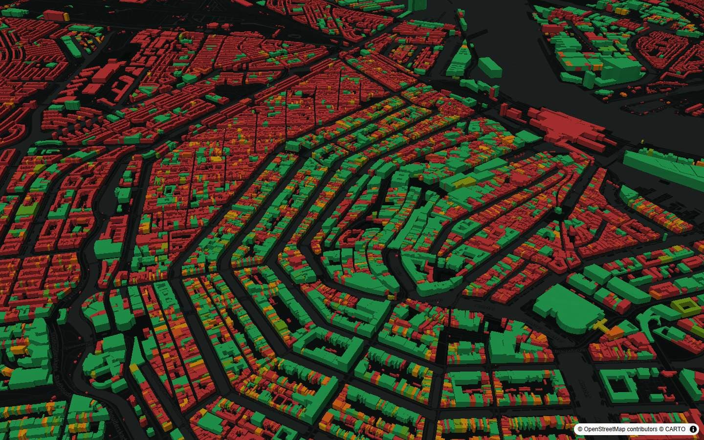
City Atlas · every building in Amsterdam, scored · part of Studio